


Nar Phu valley Trekking Route Map

The Nar Phu Valley Trekking route map is an essential guide, providing detailed information on routes and landmarks. In the Annapurna region, the Nar Phu Valley is a hidden gem; trekking in this area requires a comprehensive route map. Having a route map is not enough. Instead, trekkers need to understand the Map. Thus, we make it easy to understand by describing the Map of Nar Phu Valley.
The Nar Phu Valley map provides an essential, accurate overview of the route with the necessary information. The Map contains critical features, including Legend and Itinerary Highlights. The Map also includes the elevation profile for each destination, making it easy to plan your walking pace accordingly.
Symbols used the Nar Phu Valley Trekking route map.
The Map of Nar Phu Valley is visually appealing, using color-coded symbols to distinguish the various sections. By reviewing the Legend, trekkers can understand the meaning of each symbol on the Map.
The Map uses various symbols with different colors and shapes for the main hiking route, secondary route, driving route, viewpoint, mountain, lake, suspension bridge, glacier, checkpost, pass, and monastery. Readers can find each symbol's meaning in the legend. Furthermore, the Legend also involves the best trekking season.
Highlight the itinerary on the route map.
Below the Legend, the Map shows an itinerary. This feature helps trekkers know their destination each day. Each day's destination is clearly defined in the itinerary, with the area's elevation highlighted.
As shown in the itinerary highlight on the map, day 1 includes Kathmandu. This is the day trekkers arrive in Nepal. As depicted in the Map's itinerary highlight, the journey to Nar Phu Valley begins on day two with a jeep drive to Chamje (1750m).
As illustrated on the Map, the journey to Nar Phu Valley begins with a trek to Dharapani (1960m) from Chamje village on the third day. Likewise, Koto (2610m) is your destination on the fourth day.
As the Map shows, trekkers pass a suspension bridge to Meta (3560m) on the fifth day after Chamje. Day six is a journey to Kyang, where trekkers can visit the monastery as shown on the Map.
Day seven takes trekkers to the one prominent village on the journey, Phu village (4050m). On the eighth day’s exploration day, trekkers visit a well-known monastery in Phu village.
Trekkers pass through Tashilhakhang monastery to Nar Phedi on the ninth day. As shown on the Map of the Nar Phu Valley trek, the tenth day takes trekkers to Nar Village (4410m). Yet, as trekkers can see on the Map, between Nar Phedi and Nar Village, a sign of Nepal's national flag indicates Kang la Pass(5320m). Thus, trekkers cross one of the highest passes in the Himalayas on the route from Nar Phedi to Nar village.
Hiking through Nagwal, trekkers reach Manang(3440m) on day 11. As indicated on the itinerary highlight, day 12 is an exploration day in Manang. On this day, trekkers explore Humde Airport and Gangapurna Lake, shown below in Manang village on the Map.
Day 13 takes trekkers to Yak Kharka (4350m). Likewise, day 14 takes trekkers to Throng Phedi (4420m). The fifteenth day is an adventurous day on the Nar Phu Valley trek, as trekkers can see on the day they reach Muktinath. However, between Thorong Phedi and Muktinath, trekkers should cross through the highest pass in the world, Thorong La Pass (5416m).
On the sixteenth day, from Muktinath, trekkers descend to Jomsom. As visible on the Map, they fly to Pokhara on the seventeenth day. The journey to Nar Phu Valley concludes with a return to Kathmandu on the eighteenth day.
Mountain scenery during the Nar Phu Valley trek
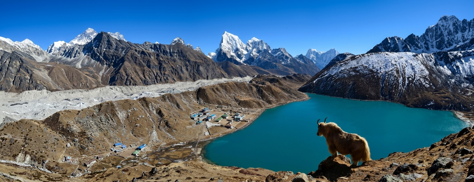
As the Nar Phu Valley trek is in the Annapurna region, trekkers can enjoy panoramic views of the Annapurna range throughout their journey. Besides the Annapurna range, trekkers get to see views of Mount Tilicho (7134m), Nilgiri (7061m), and Machhapuchhre (6993m). The smiling snow-capped peaks give you the strength to trek even in the rough terrain.
Conclusion
The Nar Phu Valley map shows the journey’s incredible scenery and challenging landscape. From towering peaks to ancient monasteries and beautiful settlements, each step of the route takes trekkers into the heart of the Annapurna Conservation Area's culture and nature.
Make an Inquiry


Let's Plan Your Trip Together
Tell us what you're looking for, and we'll help you shape a journey around it.
Plan with us