


Upper Mustang Trek Map

The Upper Mustang trek map is a crucial navigation tool for trekkers, providing necessary information on the route. The route map to the Upper Mustang trek offers trekkers essential trail information, landmarks, and elevation information of Lo-Mangthang (3840 Meters)
The map of Upper Mustang highlights key landmarks, including villages, monasteries, suspension bridges, and passes. By following the route map, trekkers can identify the main hiking trail, secondary trail, and driving paths.
The Upper Mustang route map effectively illustrates the elements using symbols and colors. The Legend of the Map helps trekkers easily understand the symbols used on maps.
Summarized the Trip Details of the Upper Mustang Trek map
The map's highlights provide day-to-day itinerary details for the trekkers. Per the itinerary on the Upper Mustang trek map, day one is in Kathmandu (1400m), where you can visit nearby areas. Day 2 is a preparation day for the trek.
As shown in the itinerary highlight, trekkers begin the Upper Mustang trek on day 3, after arriving in Pokhara. As the map shows, you can reach Pokhara (820m) by ground or air. Day 4 takes you to the Mustang area. Trekkers must first reach Jomsom to continue their journey to Upper Mustang. You can take a jeep ride or a flight to reach Jomsom. After getting to Jomsom (2650m), you'll trek to Kagbeni (2810m).
The fifth day on the Upper Mustang trek takes you to Chele (3065m), passing through the village of Chhuksang (2980m) and one suspension bridge. As illustrated on the map, there are two routes from Chhuksang: one to Muktinath and the other to Upper Mustang. However, you'll follow the main hiking route to the Upper Mustang.
Day six takes trekkers to Syangboche( 3475m). Between Chele and Syangboche is a national flag of Nepal that symbolizes the Pass. Thus, you need to cross passes while trekking from Chele to Syangboche. The Pass includes Taklam La and Dajori La. Moreover, you can visit the monastery in the Syangboche village, as shown on the map.
The seventh day takes you to Ghaymi (3520m), where you walk through Ghiling village and pass a suspension bridge. It takes 8 days to reach Tsarang (3560m). However, as the map depicts, you must walk through several suspension bridges and cross a pass to reach there.
The ninth day on the Upper Mustang trek is the important one, as on that day, you'll get to Lo Manthang (3730m), the journey's final destination. Day ten is an acclimatization and exploration day on "The Walled City."
From the eleventh day, you'll start descending, returning to the journey. The nightstay point on the eleventh day is Drakmar (3810m); likewise, you'll descend to Ghiling (3805m) on the twelfth day. The thirteenth day takes you to Chhuksang and the fourteenth day to Jomsom.
By flight or drive, you'll return to Pokhara on the fifteenth day and to Kathmandu on the Sixteenth.
Scenery along the way to Mustang.
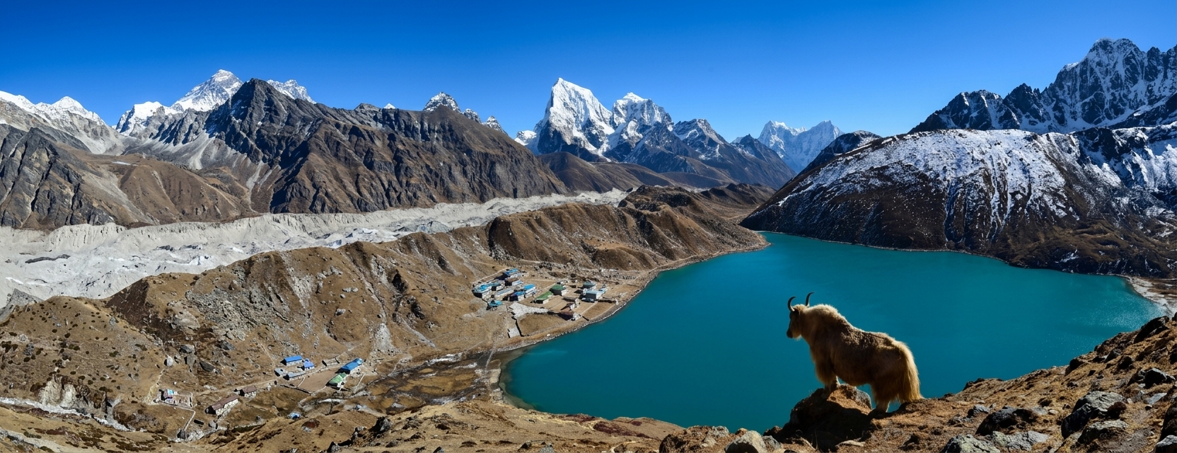
The Upper Mustang trek leads trekkers through the valley's hidden beauty, with mesmerizing scenery. From mountain peaks to monasteries, chortens, and ancient caves, every step of the trek offers a trekker 's-eye view.
Trekkers can engage in the charm of snow-capped peaks, including Nilgiri North, Dhaulagiri, Tukuche, Macchapuchhre, Nilgiri South, and the Annapurna range during their journey.
On the acclimatization day in Lo Manthang, trekkers can visit the area's oldest and most historic monastery and a unique cave. The Royal Palace and narrow paths offer beautiful scenery when visiting Lo Mnathang. Not only in Lo Manthang, but trekkers can also see monasteries adorned with prayer flags throughout their journey, enhancing the scenery.
Make an Inquiry


Let's Plan Your Trip Together
Tell us what you're looking for, and we'll help you shape a journey around it.
Plan with us