


Everest three passes trek route map

The Everest Three Passes trek route map provides detailed information on the key areas' trails, landmarks, and elevations. On the left-hand side of the map, there are two crucial features, including Legend and Itinerary highlights. Given those two features, one can easily navigate the trail.
Brief Itinerary of the Everest Three Pass Trek Route Map.
You can find the day-to-day itinerary on the "itinerary highlight" on the map. As shown there, day one is for your arrival. On day two, you'll get to Phakding. You'll see a red dot with an airplane icon, indicating you'll have a flight from Kathmandu Airport to Lukla Airport. After landing in Lukla, you'll hike to Phakding.
Continuing the journey, trekkers follow the route toward Everest's three high passes. Trekkers ascend from Phakding and pass through Sherpa settlements, including Namche Bazaar, where they receive an extra day for acclimatization. As shown on the route itinerary for Everest's three high passes, day five takes trekkers to Tengboche. Day six is a trek to Dingboche, and the following day is another acclimatization day.
After Dingboche, the trail leads to Chukkung, as per the map. From Chukkung, the route goes to Lobuche on the ninth day. During the trek to Lobuche, trekkers cross their first pass, Kongma La, at 5535m. Then, the trail goes to Gorakshep on the tenth day and towards EBC on the same day.
After that, trekkers proceed to another pass on the trek, Cho La. Trekkers get to Dzongla in 11 days. Twelve days take you to Thangnang, but with a second pass, you reach Cho La at 5420m. The thirteenth and fourteenth days are dedicated to trekking to Gokyo and exploring it. The fifteenth day leads to Lumde and involves passing the final pass on the trek, Renjo La, at 5360m, as clearly visible on the map.
The journey afterward descended and rested at night in Thame, Monjo, and Lukla villages on the sixteenth, seventeenth, and eighteenth days. Then, on the nineteenth day, you'll fly back to Kathmandu.
Mountain views
Throughout the trek, trekkers traverse diverse landscapes. The views of the Mountain range, including Mount Everest (8848 m), Pumori (7165m), Cho Oyu (8188 m), and other peaks, are the major highlights of the trek.
Explain about the Glacier
The glacier symbol on the map is visible between Gorakshep and Everest Base Camp. Also, between Thangnag and Gokyo, there is another glacier. On the trail from Gorakshep to Everest Base Camp is the Khumbu Glacier, the world's highest glacier, at an elevation of 4900m (16,100 ft). Trekkers must pass through the glacier on the final part of the EBC trail.
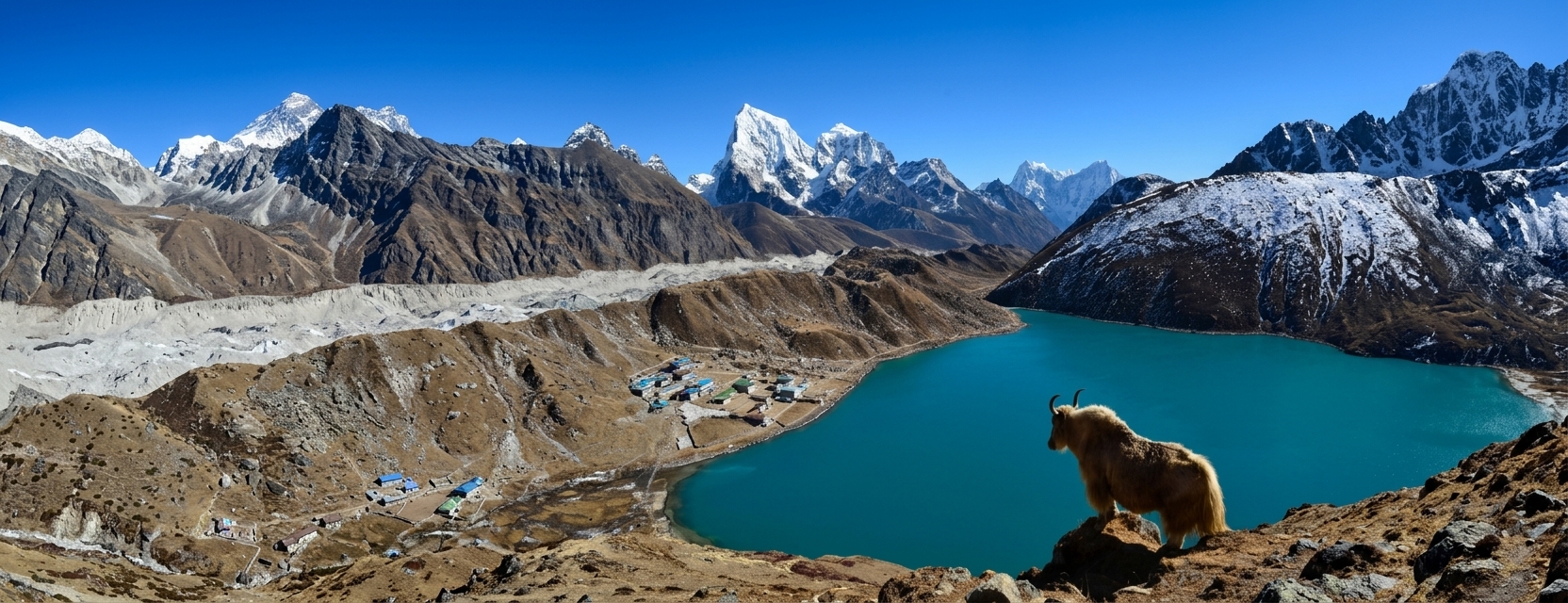
Between Thangnang and Gokyo, you'll navigate through Ngozumba Glacier. The glacier is the longest in Nepal and is below Mount Cho Oyu (8188m). Trekkers should pass through the Ngozumba Glacier to reach Gokto Valley from Thangnang Kharka, as shown on the route map.
First pass: the Kongma la Pass trail map
At 5535m, Kongma La lies above the Dingboche village and to the southwest of Mount Everest. It is the first pass that trekkers traverse on the Everest Three Pass trek. One can see the national flag of Nepal between Lobuche and Chukkung, indicating Kongma La Pass. As shown in the route map, trekkers can see Mount Thamserku, Lhotse, Ama Dablam, Island Peak, and surrounding mountains as they pass through Kongma La.
Second pass: Cho La Pass trail map
Cho La Pass at 5368m is the second pass on the Everest Three Pass journey you'll traverse. The pass lies between the village of Dzongla and Thangnang. The Chola Pass is adventurous, and we don't recommend navigating the trail during heavy rainfall. Also, the pass is prone to crevasses. Despite its challenges, passing Chola is rewarding, offering views of Mount Everest, Lhotse, Nuptse, and the surrounding glacial lake.
Last pass: Renjo La Pass trail map
Renjo La Pass is the final pass trekkers traverse on the Everest Three Pass trek, after the Kongma La and Cho La passes. Renjo La Pass is at an elevation of 5,360 m and connects the villages of Gokyo and Lumde. After the pass, trekkers return to the route shown on the map. During the pass, trekkers get stunning views of Everest, Lhotse, Makalu, and other peaks, along with stunning lakes of the Gokyo valley. However, their passes are listed in the Sagarmatha National Park.
Make an Inquiry


Let's Plan Your Trip Together
Tell us what you're looking for, and we'll help you shape a journey around it.
Plan with us