


Everest Base Camp Helicopter Tour Map

The map above shows the route for the Everest Base Camp Helicopter tour. The map highlights various information, including the itinerary and LEGEND. As shown on the map, the Everest Base Camp helicopter tour itinerary includes six phases. The helicopter tour is short and can be completed in three hours, so the itinerary is not day-based. Instead, it is phase-wise.
As shown on the Mount Everest helicopter map itinerary, the day begins with a flight to Lukla. In other words, during the first phase of the helicopter tour, you'll reach Lukla from Kathmandu. The red dotted line symbolizes the secondary route. Throughout the journey, you'll fly through the same route.
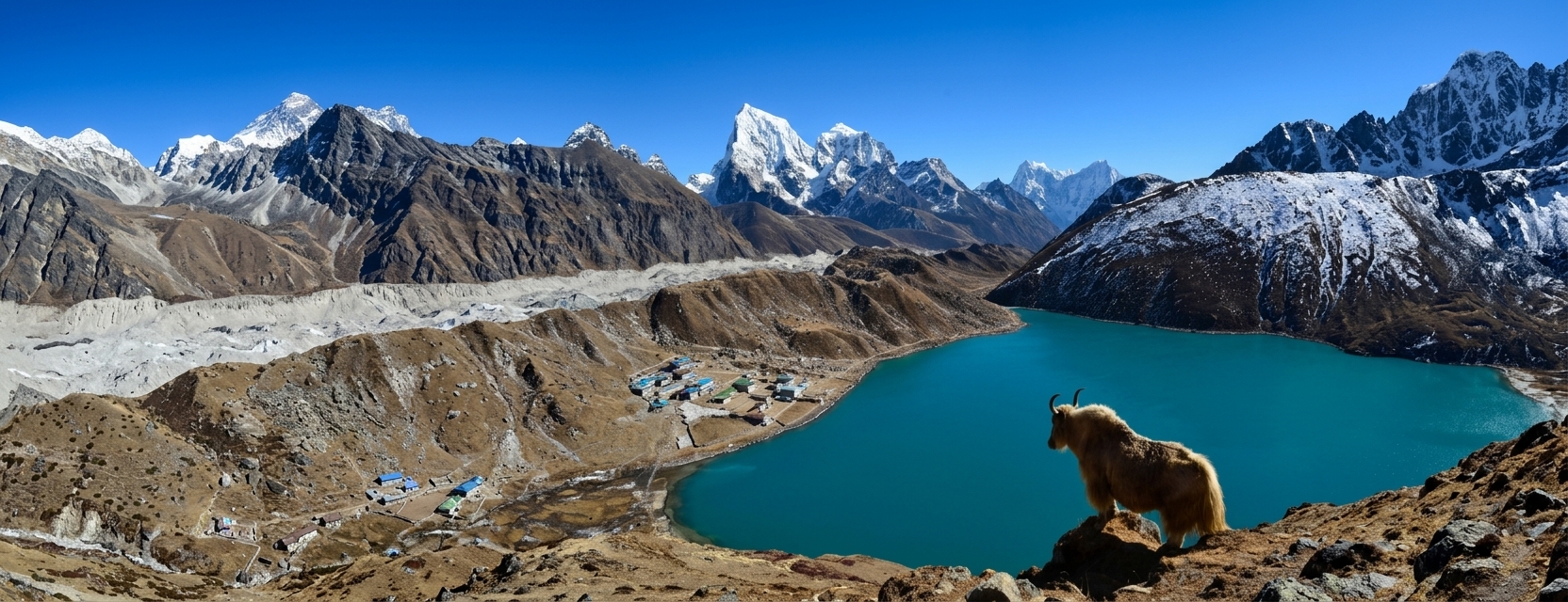
The map featured significant attractions, including mountain peaks, glaciers, and lakes, each represented by different symbols and colors. For your information, lakes, including the Lake of Gokyo, are highlighted on the map as blue signs.
Similarly, have a review video of the trip https://youtu.be/PQtfJU3_ioc?t=8
The second phase of the Everest Base Camp Helicopter Tour Map
You’ll fly from Lukla Airport to Pheriche. On the map, you'll pass through the villages of Phakding, Namche Bazaar, Everest View Hotel, Khumjung, Tengboche, and Pangboche. The house symbol that you can see indicates a monastery. Thus, along the way to Pheriche, you'll see three main monasteries of the Everest region.
As shown in the legend, the green H symbol on the map indicates the helipad. In phase three, you'll fly to Kalapathar. As indicated on the helicopter tour map to Everest Base Camp, the helipad's sign is limited to Kalapathar, meaning it is the last destination or the highest point you'll reach. Passing through Dingboche, Thukla, and Lobuche, which are significant villages, and then Pheriche.
There are several lakes, glaciers, and mountain peaks surrounding the Kalapathar. As is apparent, Mt.Pumori is in front of Kalpathar, and the Gokyo Lakes are on the other side. Likewise, travelers can see other mountain peaks, including Lingtren, Mount Everest, Lhotse, Nuptse, Lhotse Shar, Ama Dablam, and Thamserku from Kalapathar. Furthermore, major villages, including Gokyo Ri and Gorakshep, are near Kalapathar. The highest base camp in the world, Everest Base Camp, is also close to Kalapathar.
As the third phase ends, proceed to the fourth phase: fly back to the Everest View Hotel using the same route. The fifth phase involves flying to Lukla. In the sixth phase, return to Kathmandu after exploring Sagamartha National Park.
To make it easy to see elevation across the Everest region, the map shows the altitude of each area. As shown on the EBC tour route map, your journey begins at an elevation of 1400m in Kathmandu, with elevation gains at Lukla (2850m), Pheriche (4280m), and Kalapathar (5555m), the highest point. Then you'll lose elevation from 5555m to 3880m at Everest View Hotel, 2850m at Lukla, and 1400m at Kathmandu.
Make an Inquiry


Let's Plan Your Trip Together
Tell us what you're looking for, and we'll help you shape a journey around it.
Plan with us