


Everest Panorama Trek Map

Everest Panorama Trek Map Information
The online access route map for the Everest Panorama trek provides accurate and sufficient information about the trail to enhance the trekking experience. The route map provides a detailed trekking route for the Everest Panorama and features key landmarks in the area.
The Everest Panorama trek contains sets of symbols with different shapes and colors to provide a graphical feature of the Everest region. Using different colors and symbols, the map included features such as main and secondary hiking routes, viewpoints, mountains, lakes, and suspension bridges.
On the Everest Panorama trek route map, the legend on the left side explains the symbols used. Furthermore, the itinerary highlights are on the right side, with day-to-day details of a nine-day trek to the Everest Panorama.
Brief Itinerary of Everest Panorama Trek Map
As shown in the "itinerary highlight" on the route map, the first day of the Everest panorama trek is in Kathmandu. The day is for your arrival in Nepal or sightseeing. The trip to Everest Panorama starts with a flight to Lukla Airport at an elevation of 2,850 m. With a red dot line, trekkers fly from Kathmandu's domestic airport to Lukla airport. Then, the trek begins towards Phakding at 2610m, passing a suspension bridge, as shown on the map.
Day 3 takes trekkers to Namche Bazaar at an elevation of 3443m. As illustrated on the map, you'll walk through the main hiking route to Namche, bypassing Monjo's village and crossing the suspension bridge. As you can see on the map, day four is acclimatization day at Namche Bazaar.
Leaving Namche, the trail leads to Tengboche at 3860m on the fifth day, the highest point on the trek. You can see the house-like symbol on the Tengboche, which represents the region's iconic monastery. Taking a secondary route on the sixth day, you'll get to Khumjung at 3790m. There is a viewpoint in Khumjung, which is also on the route map, and trekkers get the finest view of the mountains from there.
From Khumjung, the trail continues to descend through Monjo at 2835m and Lukla on the seventh and eighth days. The map shows that on the ninth day, you fly to Kathmandu along the same airway, marked by a red dot.
Views of the Himalayan Peaks in the Panorama trek
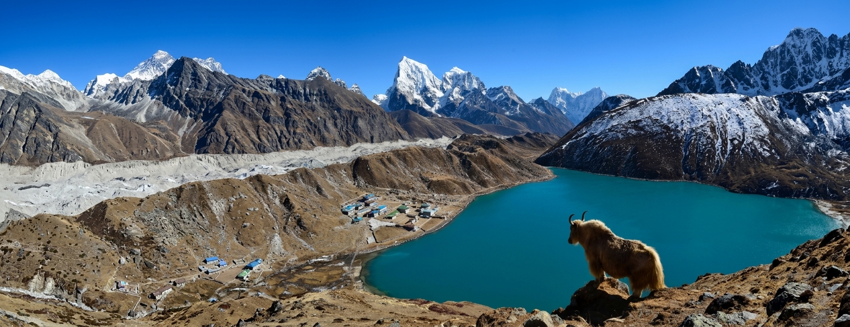
Even without reaching higher elevations, trekkers can enjoy the panoramic views of snow-capped peaks on the Everest Panorama trek. The mountain peaks in the upper part of the route map to Everest Panorama are visible to trekkers, though from a distance. The snow-capped peaks trekkers see on their Everest Panorama trekking journey include Mount Everest (8848), Lhotse (8501m), Lhotse Shar (8393m), Nuptse (7879m), Pumori (7165m), Ama Dablam (6312m), and Thamserku (6623m).
Viewpoint
The binoculars symbol on the route map for the Everest Panorama trek indicates the viewpoint. As one can see, the sign for binoculars on the Everest Panorama trek is located only in Khumjung. Trekkers get to Khumjung twice on their journey to the Everest Panorama. Each time, trekkers get the finest view of the surrounding areas and mountain peaks from there.
At an elevation of 3790m, Khumjung is a Sherpa settlement well known for its exceptional viewpoint. The monastery of Khumjung is also a famous and must-visit area, just above Namche Bazaar. The village offers some well-known regions to explore, including Khunde Hospital and Khumjung Hillary School.
Culture in Panorama Trek
On the Everest Panorama trek, trekkers pass through Sherpa settlements and experience Sherpa culture. Sherpas are widely famous for their warm hospitality and kindness. Trekkers also gain insight into the area's rich cultural heritage.
On the journey to Everest Panorama, trekkers visit the ancient Buddhist monasteries of Tengboche and Khumjung. There, they can practice meditation and witness daily rituals and ceremonies, providing cultural immersion. Furthermore, they can connect with Sherpa communities and learn about their cultural traditions and unique way of life in Sagarmatha National Park.
Make an Inquiry


Let's Plan Your Trip Together
Tell us what you're looking for, and we'll help you shape a journey around it.
Plan with us